Second Leg of Greek Sampling
September 19th 2010
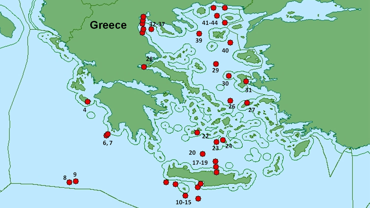
After we picked up our samples in Maliakos Gulf and changed Greek collaborators we sailed overnight to Psara Island to collect sample #30 on the sample map. Weather became an issue as we tried to collect samples site #26. The winds were blowing over 30 knots and seas were building over 10 feet, in these conditions we can’t deploy the CTD and it is unsafe to work outside. We ducked into Tinos Island and Ios Island to avoid weather as we made our way to Santorini.
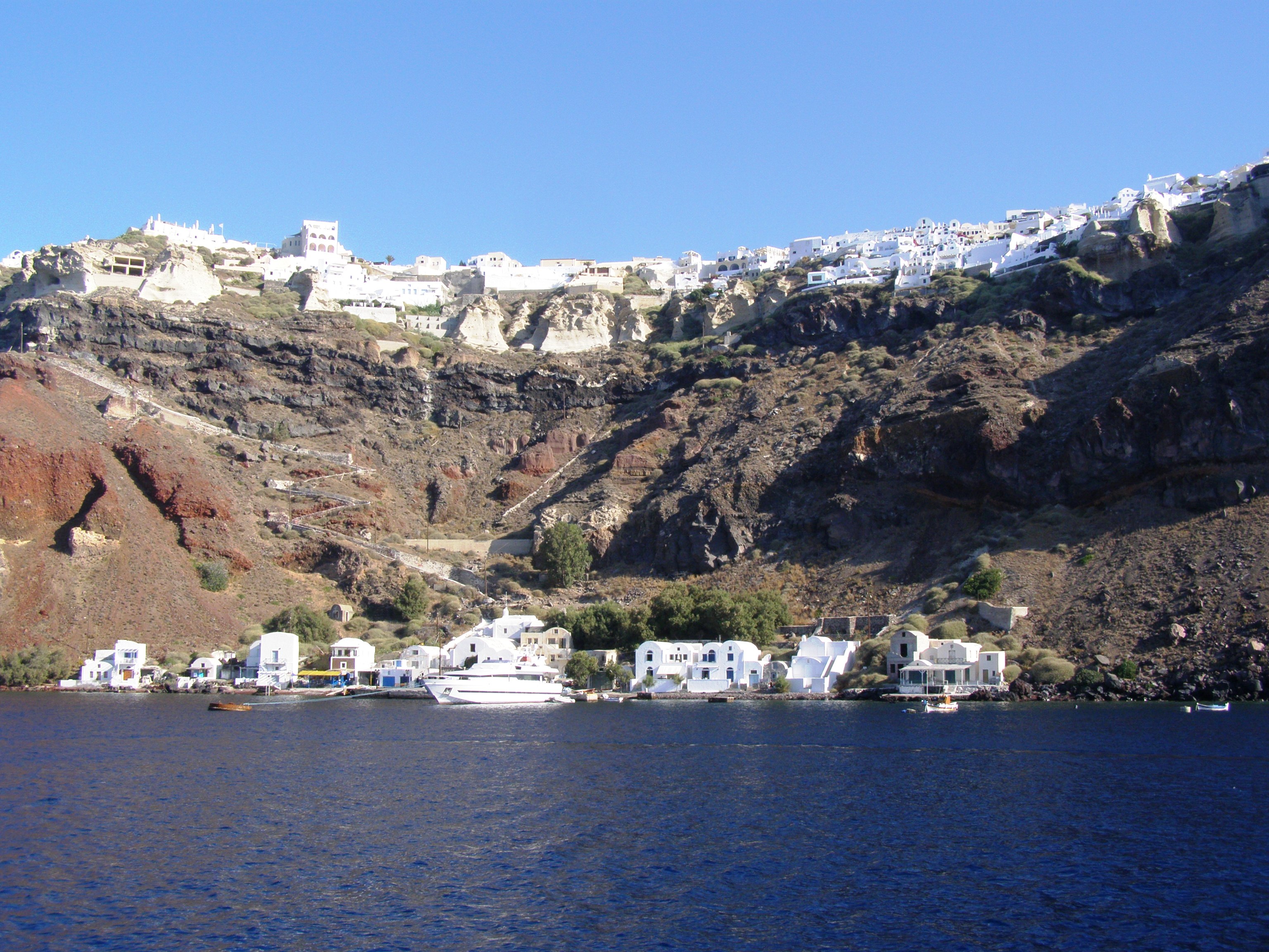
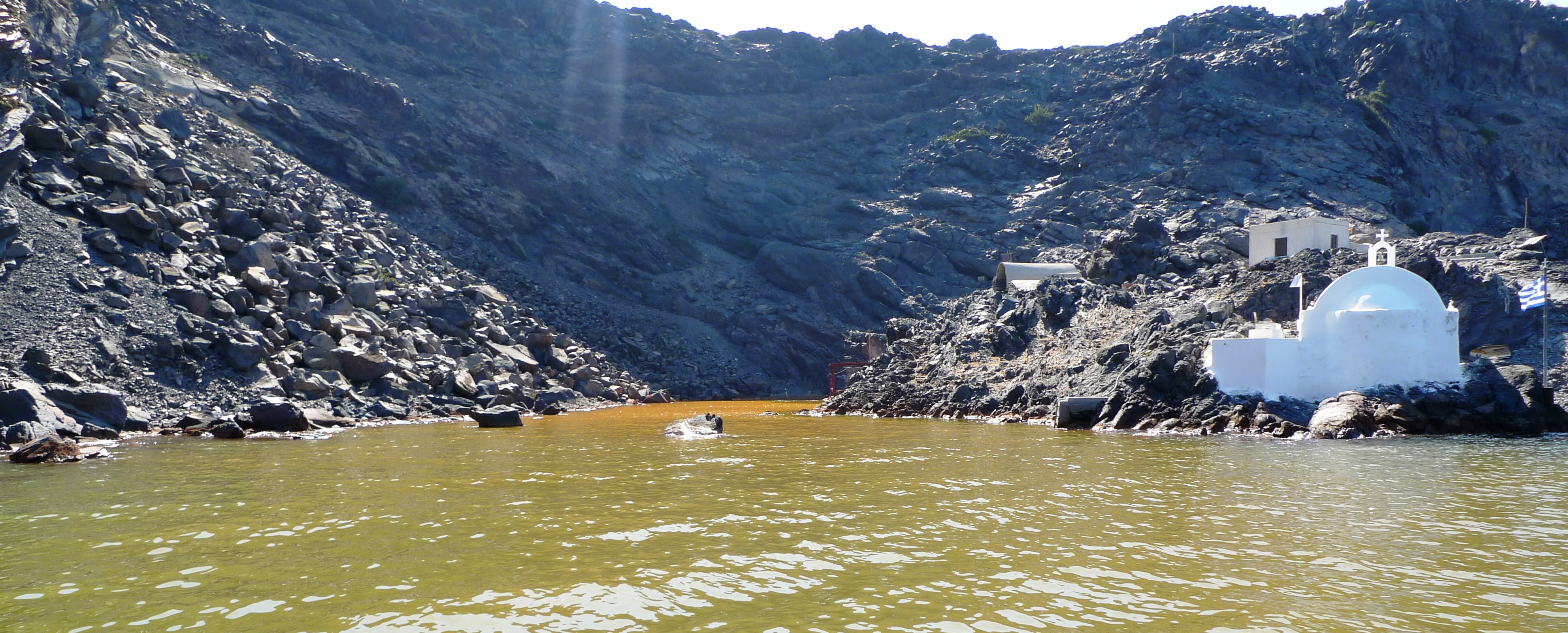
Santorini is an amazing place. It is a volcanic Island that is the site of the largest volcanic eruptions in recorded history, which occurred some 3,600 years ago. The caldera is filled with water from the Aegean Sea………as you sail in, you are looking up 1000 feet cliffs, then you realize you are really in the middle of an active volcano!
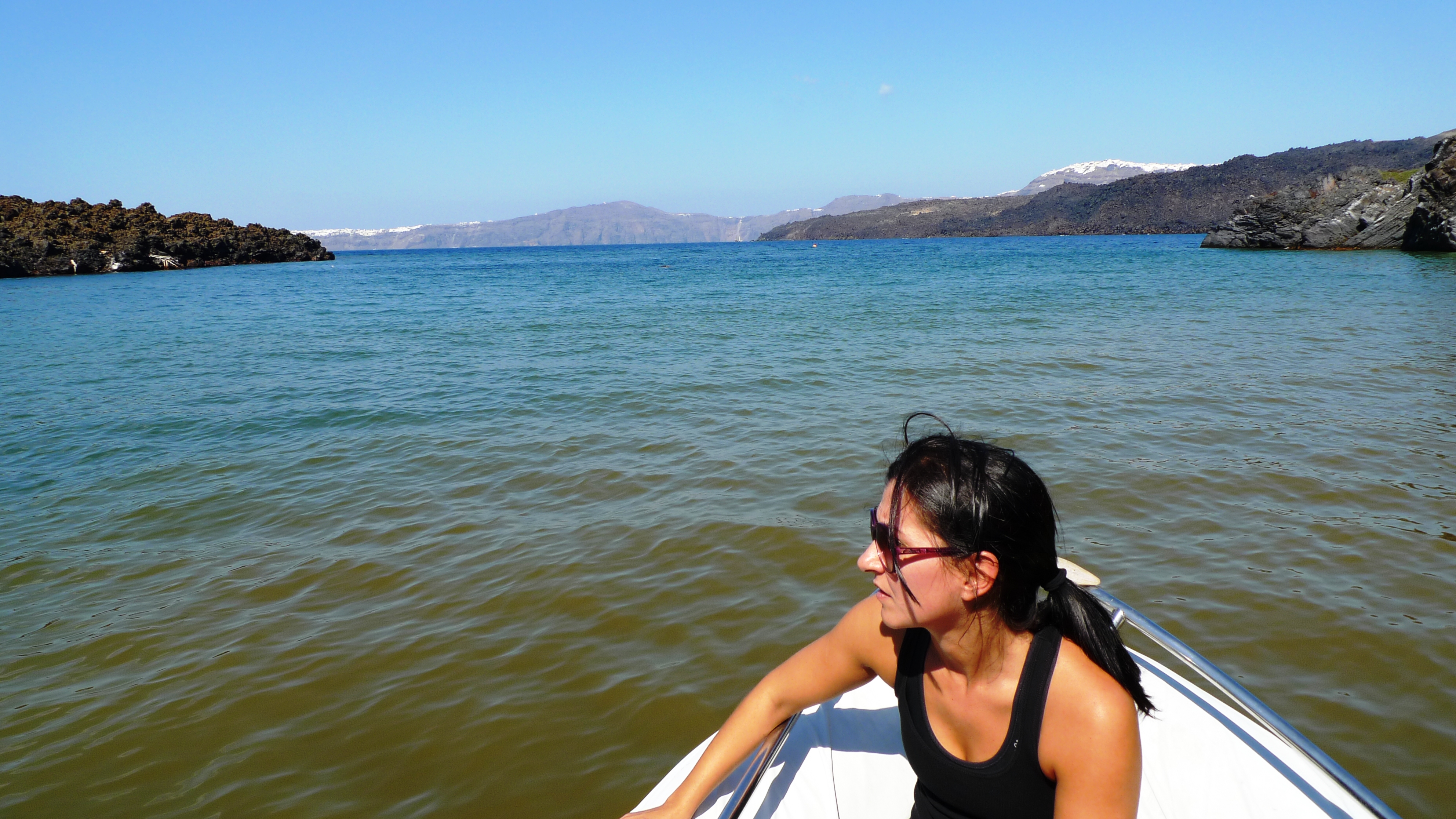
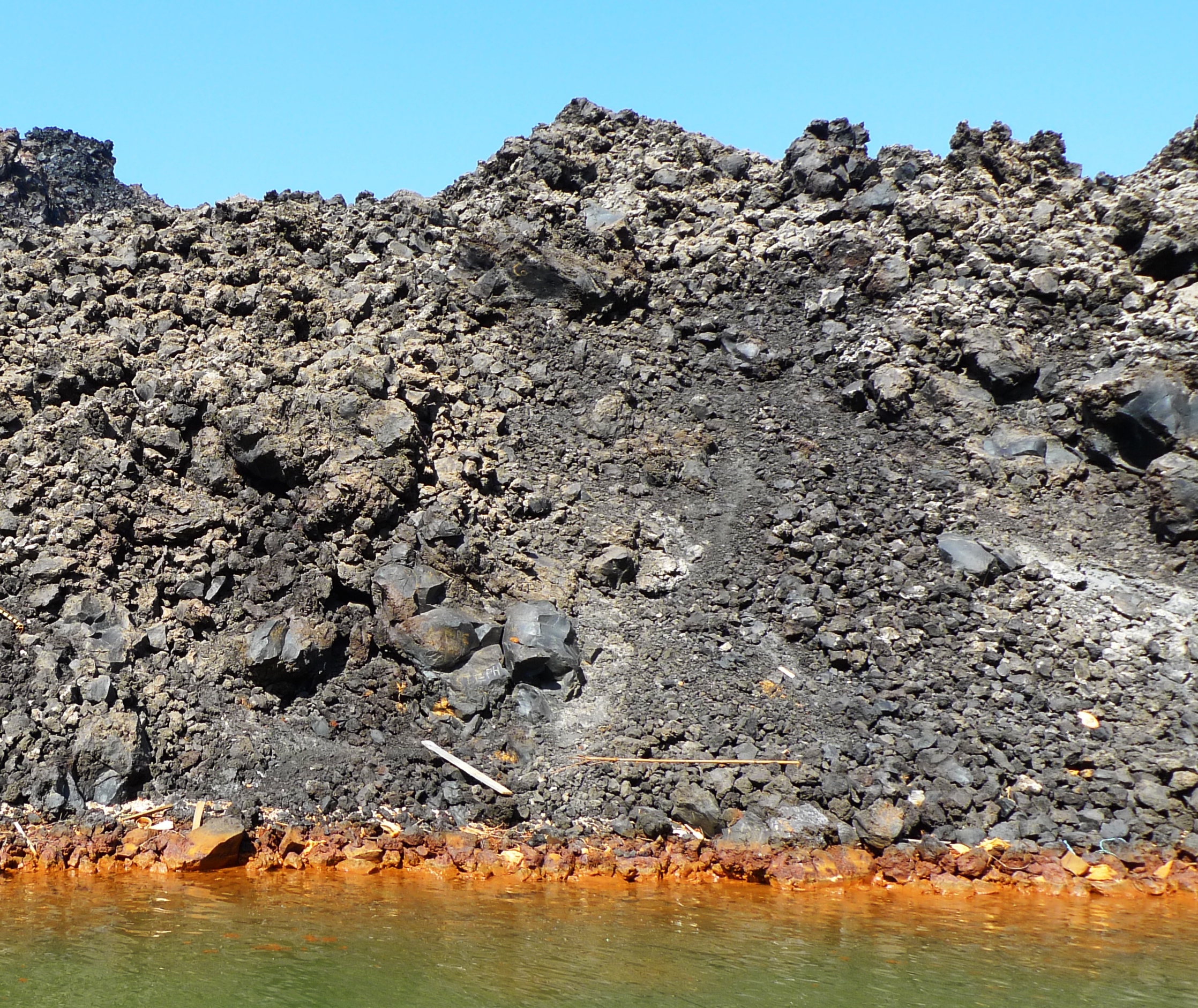
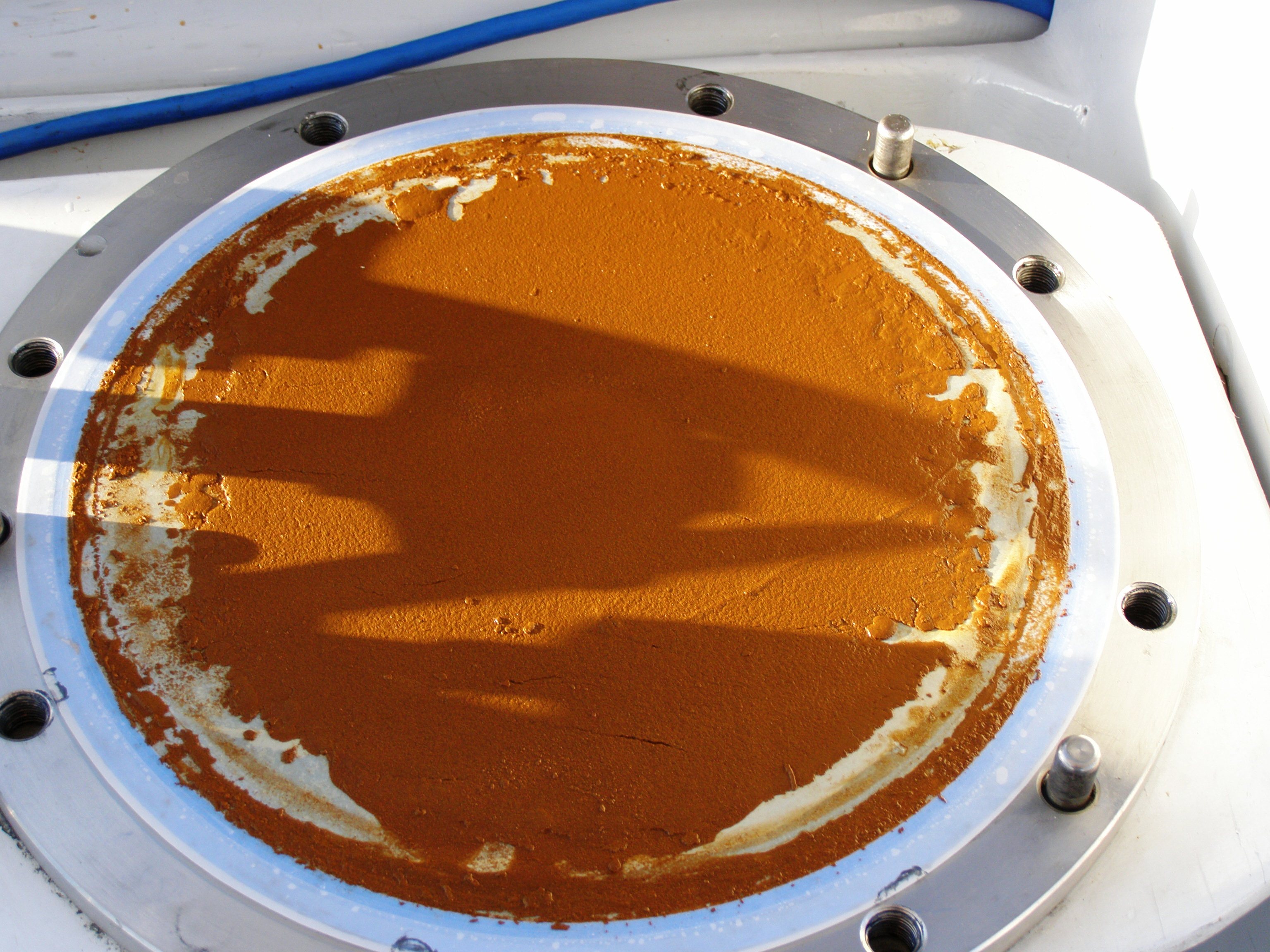
There were a couple samples we wanted to take in Santorini. The first was a deep sample in the middle of the caldera (Greek Sample #24 on the sample map). The second sample was in an area called Iron Bay. Iron Bay is called Iron Bay…you guessed it, because of all the iron in the water! As you go into the bay the water turns a brownish orange color, the rocks on the shores are the same color. Iron Bay is a thermal vent so you can see the bubbles coming up the water column, you can smell the sulfur and the water temperature goes from 24 -32 C (75-90F). This is going to be a very interesting sample!
In Santorini we dropped off Dora and picked up our last Greek observer, Paraskevi Polymenakou (Voula) from The Hellenic Centre for Marine Research. Voula would do the leg from Santorini to Crete.